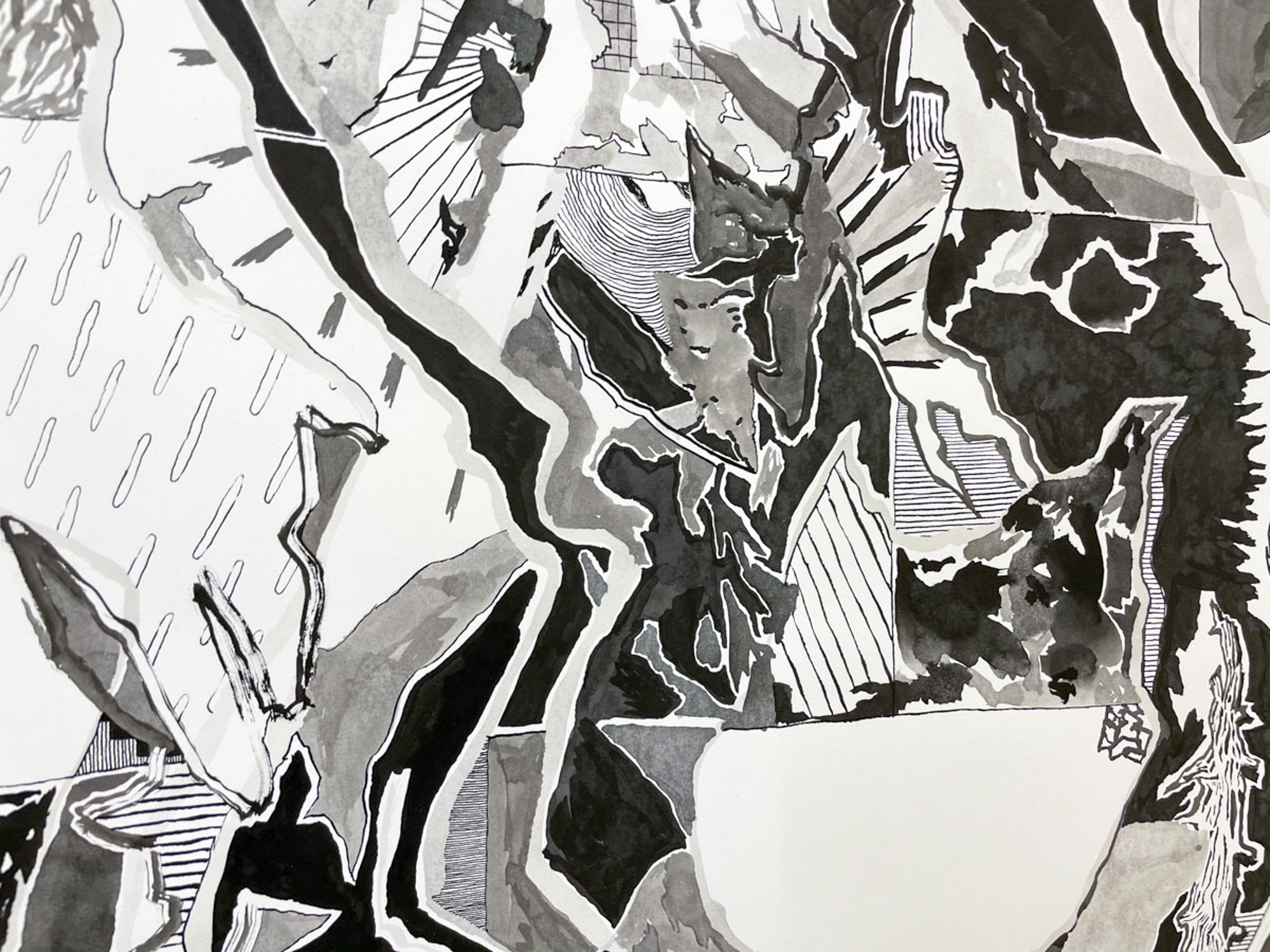

The drawing is a composite of the Thomas Moran painting, Mount of the Holy Cross, from 1888 based on the William Henry Jackson photograph, as well as historical and contemporary map images of the location, which is located in Colorado. The image of the site, because snow falls in a cruciform pattern on the mountain, became an emblem of manifest destiny—a belief that the west was divinely awarded to Christians for claim, conquer and settlement.
The foldout map of the Pacific Ocean plots the ocean but also, with red circles, indicates which territory belongs to which empire. I like imagining each nation used a red marker to draw around islands on a map, laying claim. The deaccessioned map from the Northwestern Library’s folds has two grids—one for the latitude and longitude lines that divide spaces on the flattened globe and one grid created to divide the paper into sections to collapse it into the bound form.